Spanish Company Unveils Moon GPS System to Revolutionize Lunar Navigation

Table of Contents
GMV Introduces LUPIN: A Lunar Navigation Breakthrough
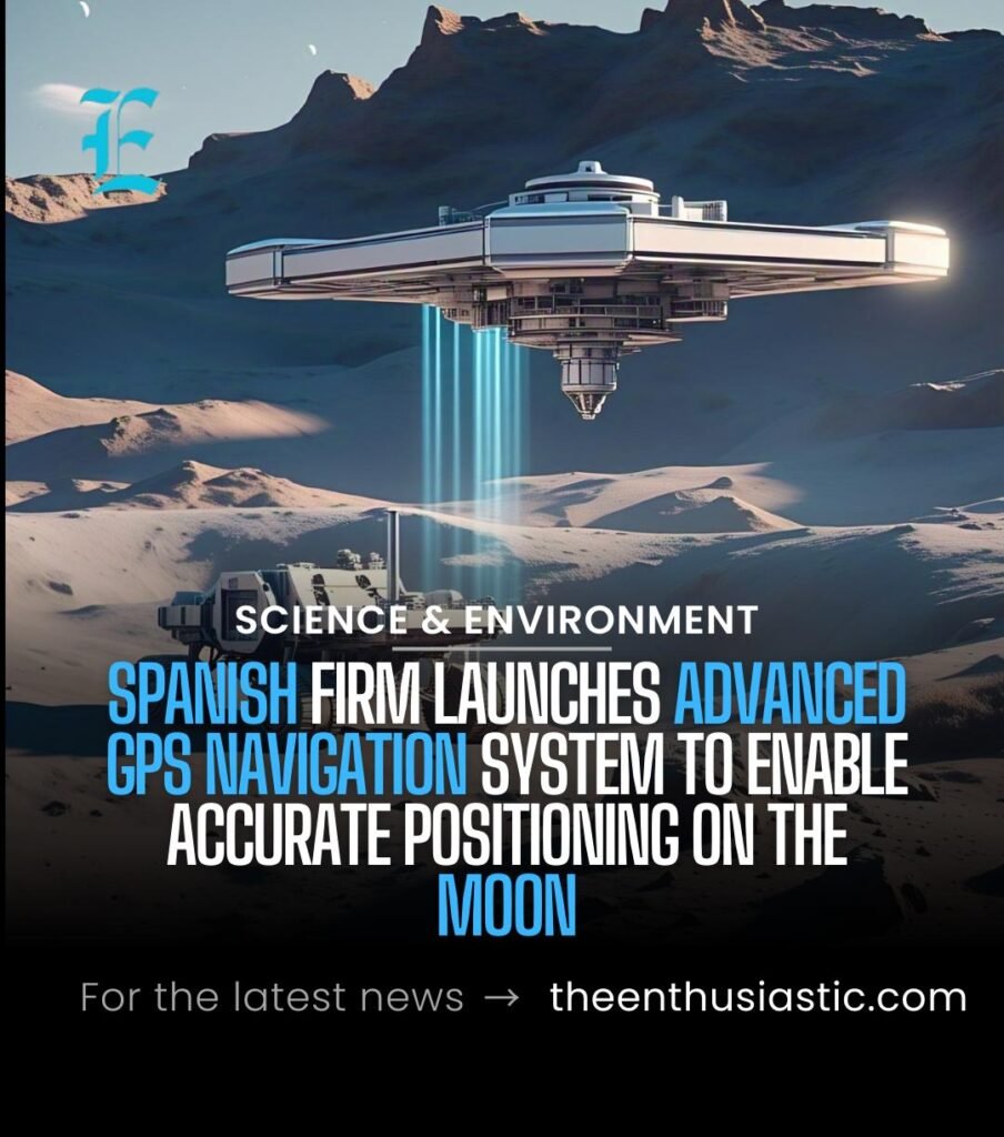
Madrid – Spanish technology firm GMV has announced the development of a revolutionary lunar navigation system named LUPIN, designed to enable real-time positioning on the Moon much like GPS functions on Earth. This innovation marks a significant step toward making lunar exploration more practical and accessible for future space missions.
Part of ESA’s Push for Space Innovation
LUPIN is being developed under the auspices of the European Space Agency (ESA) as part of a broader initiative to test advanced positioning, navigation, and timing technologies for extraterrestrial environments. As lunar activity grows—driven by scientific, commercial, and even tourism interests—the demand for accurate and user-friendly navigation tools is becoming more urgent.
From Earth to the Moon: Tested on Alien-Like Terrain
Before being readied for space missions, GMV rigorously tested the system on Fuerteventura, one of the Canary Islands known for its lunar-like landscape. The island’s rocky terrain provided an ideal simulation ground for trial runs of the LUPIN prototype, ensuring that the system could withstand and perform under Moon-like conditions.
How LUPIN Works: Real-Time Moon Positioning
Traditional lunar navigation depends on Earth-based calculations and communications relayed through satellites, often resulting in delays and communication blackouts. LUPIN, however, works by using a network of satellites orbiting the Moon to provide instantaneous location data for astronauts and rovers—bringing real-time GPS-like functionality to lunar missions.
This means rovers and astronauts will be able to determine their exact location on the Moon’s surface without waiting for delayed signals from Earth.
Solving the Challenges of Lunar Navigation
Lunar navigation faces serious obstacles, from unpredictable terrain changes due to meteorite impacts and dust movement, to the difficulty of operating in regions like the Moon’s south pole or far side, which remain in perpetual shadow. LUPIN addresses these challenges by combining high-resolution lunar maps with fresh, real-time data collected from orbit.
This integration allows the system to detect terrain changes and provide reliable, up-to-date navigation—reducing risks for both crewed and robotic missions.
Supporting Long-Term Lunar and Martian Exploration
According to Steven Kay, project lead for LUPIN, the system could be instrumental in helping Europe establish a sustained human presence on the Moon. By enabling safer, faster, and more autonomous exploration, LUPIN could serve as a stepping stone to future missions to Mars and beyond.
Mariella Graziano, GMV’s head of strategy, echoed this vision, highlighting that LUPIN is designed to help rovers efficiently map lunar terrain, paving the way for astronauts to eventually live and work on the Moon.
A Giant Leap Toward Routine Moon Missions
In essence, GMV’s LUPIN may transform lunar exploration from a risky, high-stakes endeavor into a more routine and manageable operation. If successful, the system could become a cornerstone of space navigation, unlocking new possibilities not only for the Moon—but for human exploration across the solar system.
